Deployment Sites
Bermuda
Mid-Atlantic archipelago with NASA and range tracking heritage—another western Atlantic mark on the ARIA map.
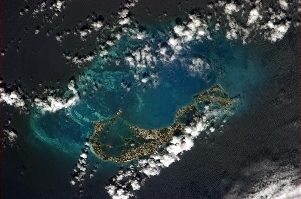

Bermuda lies about 650 miles east of Cape Hatteras in the North Atlantic. Its airport and supporting facilities have long served both civil traffic and U.S. space and missile tracking. NASA operated a Bermuda tracking station during Mercury, Gemini, and Apollo as part of the Manned Space Flight Network; the Eastern Range also used Bermuda for downrange coverage of Florida launches.
ARIA deployments listed Bermuda among western Atlantic staging and support locations. An instrumented aircraft operating near Bermuda could fill gaps between continental U.S. stations, shipborne assets, and more distant island sites such as Antigua or Ascension.
From orbit, Bermuda’s fishhook outline is unmistakable. On the ground it was a familiar name on range and network charts—another place where airplanes, ships, and fixed antennas shared the job of keeping contact with vehicles over the ocean.
Milestones
- Mercury–ApolloNASA tracking — Bermuda station supports early manned spaceflight network coverage.
- Eastern RangeDownrange — Range instrumentation uses Bermuda for Atlantic launch support.
- ARIA mapWestern Atlantic — Listed among ARIA deployment sites.
On flyARIA
Add to this page
Photographs, TDY notes, and corrections from ARIA crews and families belong here. Email [email protected] — no forms. Nothing is published as personal recollection without a source.
Summary original to flyARIA.com. Photograph: NASA / Chris Hadfield. Works of the U.S. Government are generally in the public domain in the United States; credit does not imply endorsement. Map coordinates are approximate.