flyARIA Archive
ARIA Deployment Sites
Worldwide staging bases, islands, and airfields on the ARIA map
The ARIA fleet staged worldwide—from Ascension Island to Diego Garcia, Dakar to Darwin. This section indexes all 70 locations on the flyARIA deployment map, with fuller histories for 19 notable sites. Edwards and Wright-Patterson appear in the index with links to their Air Force Base Histories (ARIA home stations), not as thin copies here.
The original archive page with the bare list and interactive map remains at ARIA History · Deployment Sites. Prefer this section for readable histories and the grouped index. Have a photo or TDY note for a site that is still index-only? Email [email protected].
Notable sites
 South Atlantic
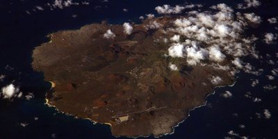
Ascension Island AFS
Mid-Atlantic rock and runway: Eastern Range tracking station and a frequent ARIA staging base between Africa and South America.
 Indian Ocean
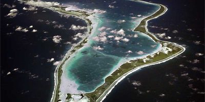
Diego Garcia
British Indian Ocean Territory atoll and U.S. Navy support facility—an Indian Ocean foothold on the ARIA deployment map.
 Australia & Southwest Pacific
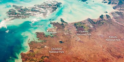
Darwin, Australia
Northern Territory gateway: Apollo-era ARIA staging for Pacific and Indian Ocean tracks, including Apollo 13 recovery support.
 Pacific
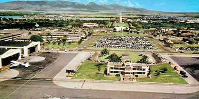
Hickam AFB, Hawaii
Pacific crossroads beside Pearl Harbor: ARIA and TRIA transit hub, and home of the Burning Light task force story tied to TRIA 61-0331.
 Pacific
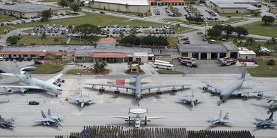
Andersen AFB, Guam
Northern Guam’s strategic bomber and tanker base—and a regular Pacific stop on ARIA deployment routing.
 Caribbean & Western Atlantic
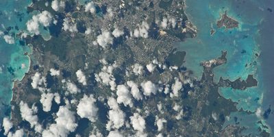
Antigua
Eastern Caribbean island on the Air Force Eastern Test Range chain—tracking and telemetry downrange from Cape Canaveral.
 Caribbean & Western Atlantic
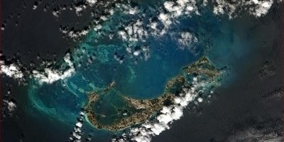
Bermuda
Mid-Atlantic archipelago with NASA and range tracking heritage—another western Atlantic mark on the ARIA map.
 Pacific
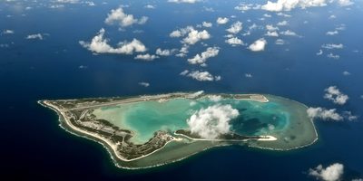
Wake Island
Remote Pacific atoll and U.S. airfield between Hawaii and Guam—sparse, strategic, and on the ARIA deployment list.
 North Atlantic & Polar
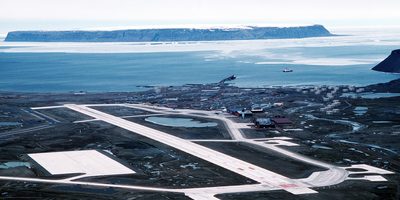
Thule, Greenland
High Arctic U.S. base in northwest Greenland—polar staging on the edge of the ARIA world map.
 Africa
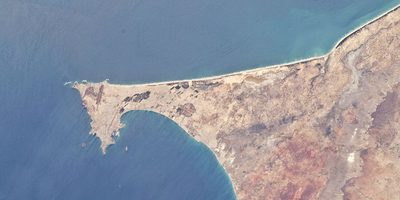
Dakar, Senegal
West African capital and Atlantic springboard—one of the African cities ARIA crews knew from the schedule and from their stories.
 Africa
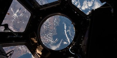
Cape Town, South Africa
Southern tip of Africa: staging for South Atlantic and, in 1996, ARIA’s first telemetry-gathering flight over Antarctica.
 Pacific
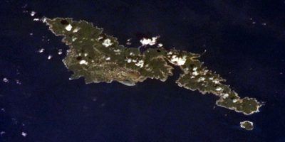
Pago Pago
American Samoa’s harbor and airfield—Apollo recovery staging and a waypoint on the TRIA 61-0331 memorial route.
 Continental U.S. & Canada
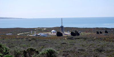
Vandenberg AFB, CA
Western Range launch base on California’s central coast—polar and high-inclination launches that pulled ARIA onto Pacific and southern tracks.
 Continental U.S. & Canada
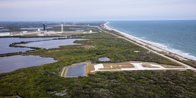
Kennedy Space Center area
Florida’s Space Coast—the Eastern Range launches ARIA existed to support. Home-station history lives on the Patrick pages.
 Continental U.S. & Canada
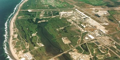
Point Mugu NAS, CA
Naval Base Ventura County’s Point Mugu airfield—Pacific Missile Range roots on California’s coast near Vandenberg.
 Indian Ocean
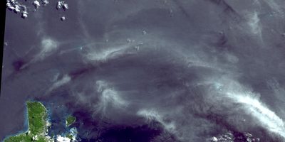
Seychelles
Indian Ocean island republic—named on the ARIA map and remembered by crews as a favorite stopover.
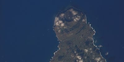 Pacific
Easter Island
Rapa Nui in the southeastern Pacific—one of the loneliest dots on the ARIA deployment map.
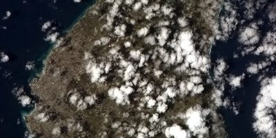 Caribbean & Western Atlantic
Grantley Adams, Barbados
Eastern Caribbean island and airport—named in ARIA trilogy remarks among “choice” deployment locations.
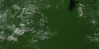 South America
Suriname (Paramaribo / Zanderij)
Northeast South America: Paramaribo and Zanderij on the ARIA list—and the 1980 coup story of crews caught on the ground.
Deployment map
Hover or tap a green mark for the site name. Positions are approximate.
Complete index
Every name from the home-page map, grouped by region. Full-page sites link here; home stations link to Air Force Bases.
Caribbean & Western Atlantic
- Antigua Full page
— Eastern Test Range downrange island in the Leeward Islands. - Bermuda Full page
— Mid-Atlantic island with NASA and Eastern Range tracking heritage. - Grantley Adams, Barbados Full page
— Eastern Caribbean airport named among favored ARIA stopovers. - Le Raizet, Guadeloupe
— Guadeloupe’s main airport (Pointe-à-Pitre) in the eastern Caribbean. - Martinique
— French Caribbean island on the eastern Caribbean cluster. - Piarco, Trinidad
— Trinidad’s main international airport (Piarco) in the southern Caribbean. - Ramey AFB, Puerto Rico
— Former Air Force base at Aguadilla (now Rafael Hernández Airport). - Roosevelt Roads NAS, PR
— Former Naval Station Roosevelt Roads on Puerto Rico’s east coast.
South Atlantic
- Ascension Island AFS Full page
— South Atlantic Eastern Range station and frequent ARIA staging base.
Africa
- Capetown, S Africa Full page
— Southern African staging; 1996 Antarctic telemetry flight origin. - Dakar, Senegal Full page
— West African Atlantic hub and crew-story setting. - Gabon, Africa
— Central African Atlantic-coast staging mark on the map. - Harare, Zimbabwe
— Southern African inland capital on the African deployment list. - Johannesburg, S. Africa
— South African inland hub paired with Cape Town on African routes. - Liberia, Africa
— West African coastal state on the African deployment list. - Mombasa, Kenya
— Kenyan Indian Ocean port city on the African list. - Nairobi, Kenya
— Kenyan capital on the East African list.
Indian Ocean
- Diego Garcia Full page
— British Indian Ocean Territory atoll; U.S. Navy support facility. - Madagascar
— Indian Ocean island nation on the African / Indian Ocean list. - Mauritius
— Indian Ocean island east of Madagascar. - Reunion Island
— French Indian Ocean island east of Madagascar. - Seychelles Full page
— Western Indian Ocean island republic; favorite stopover in crew features. - Singapore
— Southeast Asian city-state hub on Asian / Indian Ocean routing.
Pacific
- Andersen AFB, Guam Full page
— Northern Guam Air Force base—regular western Pacific RON and fuel stop. - Easter Island Full page
— Isolated Chilean Pacific island (Rapa Nui) with a jet runway. - Fiji
— South Pacific island nation near Apollo recovery zones. - Hickam AFB, Hawaii Full page
— Pacific crossroads; ARIA/TRIA transit hub (now Joint Base Pearl Harbor–Hickam). - Pago Pago Full page
— American Samoa harbor and airfield—recovery staging and TRIA 61-0331 waypoint. - Papeete, Tahiti
— French Polynesia; named among “choice” deployment locations. - Saipan
— Northern Mariana Islands—western Pacific staging near Guam. - Wake Island Full page
— Central Pacific atoll airfield between Hawaii and Guam.
Australia & Southwest Pacific
- Auckland, New Zealand
— North Island gateway; New Zealand stop on South Pacific deployments. - Christchurch, New Zealand
— South Island city long used as a gateway to Antarctica and the deep South Pacific. - Darwin, Australia Full page
— Northern Territory Apollo-era Pacific/Indian Ocean staging city. - Melbourne, Australia
— Southeast Australian city; named among favorite ARIA stopovers. - New Caledonia
— Southwest Pacific French territory on the ARIA map. - Perth, Australia
— Western Australian city; Apollo 13 accounts place an ARIA there with Darwin staging. - Sydney, Australia
— Australian east-coast capital region on the South Pacific list. - Townsville, Australia
— Queensland coastal city on Australia’s northeast coast.
South America
- Buenos Aires, Argentina
— South American capital region staging on Atlantic routes. - Cayenne, French Guiana
— Near Europe’s Guiana Space Centre—northeast South America Atlantic coast. - Lima, Peru
— Peruvian capital; named among worldwide ARIA sojourns in program features. - Paramaribo, Surinam Full page
— Suriname’s capital—paired with Zanderij; 1980 coup overnight story. - Recife, Brazil
— Northeast Brazilian coastal city on South Atlantic routes. - Rio de Janeiro
— Brazilian coastal metropolis on South American Atlantic routes. - Rio Gallegos, Argentina
— Southern Argentine Patagonian airfield near high-latitude South Atlantic tracks. - Zanderij, Surinam Full page
— Suriname’s long-runway international airport inland from Paramaribo.
Latin America
- Acapulco, Mexico
— Pacific Mexican resort city and jet airport on ARIA’s North American / Pacific fringe. - Mexico City, Mexico
— Central Mexican capital region on the deployment list.
North Atlantic & Polar
- Thule, Greenland Full page
— High Arctic U.S. base (now Pituffik Space Base).
Continental U.S. & Canada
- Andrews AFB, DC
— Washington-area Air Force airfield (now Joint Base Andrews); listed among CONUS deployment sites. - Cold Lake CFB, Canada
— Canadian Forces air base in Alberta on the northern CONUS/Canada list. - Dyess AFB, Texas
— Abilene, Texas, bomber base on the CONUS deployment list. - Edmonton, Canada
— Alberta city / airfield on the Canadian deployment list. - Edwards AFB, CA · Edwards AFB history
— ARIA’s final home station—see Air Force Base Histories, not a thin duplicate here. - Eglin AFB, Florida
— Florida panhandle test range; ARIA supported tests tied to Eglin among other ranges. - Fairbanks, Alaska
— Interior Alaska staging on high-latitude routes. - Homestead AFB, Florida
— South Florida Air Force base on the CONUS list. - Kennedy SC, Florida Full page
— Kennedy Space Center / Cape Canaveral—Eastern Range origin of many ARIA missions. - Kirtland AFB, NM
— Albuquerque Air Force base on the CONUS deployment list. - March AFB, CA
— Southern California Air Force base (now March ARB) on the CONUS list. - McClellan AFB, CA
— Sacramento-area Air Force base (closed 2001) on the historic CONUS list. - McCord AFB, Washington
— McChord Field (Joint Base Lewis–McChord) in Washington state. - Pax Naval Station, Maryland
— Naval Air Station Patuxent River—Navy flight-test center on the CONUS list. - Pease AFB, New Hampshire
— Former Strategic Air Command base (now Pease ANGB / Portsmouth airport). - Point Mugu NAS, CA Full page
— Pacific Missile Range shore base at Naval Base Ventura County. - Vandenberg AFB, CA Full page
— Western Range launch base—polar and Pacific trajectories. - Wright-Patterson AFB, OH · Wright-Patterson AFB history
— ARIA’s long home station after Patrick—see Air Force Base Histories.
Europe
- Lakenheath, England
— U.S. Air Force base in Suffolk, England—European staging mark. - Prestwick, Scotland
— Scottish Atlantic gateway airport on the European list.
Summaries original to flyARIA.com. Photographs on full pages are U.S. government works (U.S. Air Force, U.S. Navy, NASA, and related) and are generally in the public domain in the United States. Credits appear on each page. Use does not imply endorsement by the Department of Defense, the U.S. Air Force, the U.S. Space Force, the U.S. Navy, or NASA. Personal recollections are linked to their archive sources and are not invented here.