Deployment Sites
Easter Island
Rapa Nui in the southeastern Pacific—one of the loneliest dots on the ARIA deployment map.
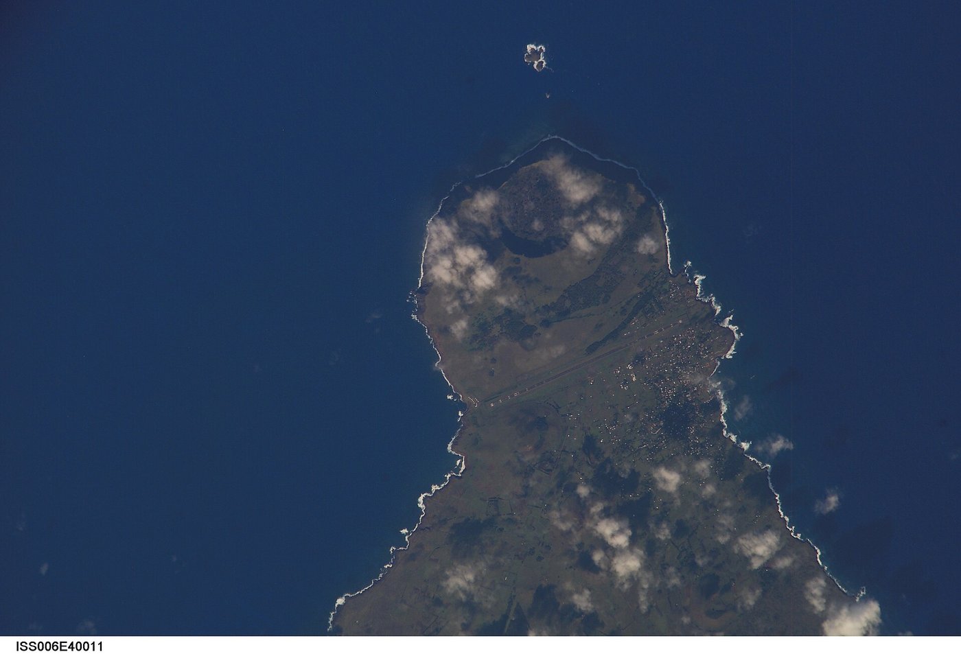

Easter Island (Rapa Nui), a Chilean territory, lies more than 2,000 miles west of South America in the southeastern Pacific. Mataveri International Airport’s runway was lengthened during the space age in part with remote-divert and contingency needs in mind; the island remains one of the most isolated inhabited places on Earth.
ARIA’s worldwide list includes Easter Island because some Pacific and high-southern tracks simply have no nearer jet airfield. Staging or diverting there put an instrumented aircraft into a corner of ocean that neither continental South America nor Polynesia could cover alone.
NASA astronaut photography shows the triangular volcanic island clearly from orbit. On flyARIA it is a reminder of how far the program’s logistics stretched when the mission required it.
Milestones
- GeographySoutheastern Pacific — Extremely isolated Chilean island with a jet-capable runway.
- Space ageRemote airfield — Runway improvements support long-range and contingency operations.
- ARIA mapNamed site — Listed among ARIA deployment locations.
On flyARIA
Add to this page
Photographs, TDY notes, and corrections from ARIA crews and families belong here. Email [email protected] — no forms. Nothing is published as personal recollection without a source.
Summary original to flyARIA.com. Photograph: NASA. Works of the U.S. Government are generally in the public domain in the United States; credit does not imply endorsement. Map coordinates are approximate.