Deployment Sites
Vandenberg AFB, CA
Western Range launch base on California’s central coast—polar and high-inclination launches that pulled ARIA onto Pacific and southern tracks.
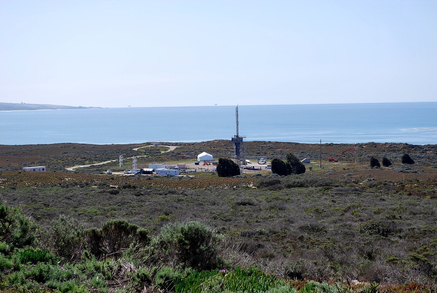

Vandenberg Air Force Base (now Vandenberg Space Force Base) occupies a stretch of California coast north of Santa Barbara. Unlike Cape Canaveral’s eastward Atlantic corridor, Vandenberg launches southward into polar and high-inclination orbits over the Pacific—missions that demand different downrange geography.
ARIA supported tests and space launches associated with Vandenberg and the Western Range, just as it supported Eastern Range work from Florida. The February 1996 Antarctic telemetry flight flown from Cape Town pursued a Delta II from Vandenberg—an example of how a California launch could send instrumented aircraft to the opposite end of the Earth.
Vandenberg remains a primary U.S. West Coast spaceport. On flyARIA it is listed as a deployment-related site because ARIA collected telemetry for vehicles and tests tied to that range, not because it was an ARIA home station (those were Patrick, Wright-Patterson, and Edwards).
Milestones
- Western RangePolar launches — Vandenberg supports southward launches over the Pacific.
- ARIA supportTelemetry aircraft — ARIA gathers data for Western Range and related tests outside ground coverage.
- 1996-02Delta II / Antarctica — Cape Town–based ARIA flight pursues a Vandenberg Delta II over Antarctica.
On flyARIA
Add to this page
Photographs, TDY notes, and corrections from ARIA crews and families belong here. Email [email protected] — no forms. Nothing is published as personal recollection without a source.
Summary original to flyARIA.com. Photograph: U.S. Air Force. Works of the U.S. Government are generally in the public domain in the United States; credit does not imply endorsement. Map coordinates are approximate.