Deployment Sites
Diego Garcia
British Indian Ocean Territory atoll and U.S. Navy support facility—an Indian Ocean foothold on the ARIA deployment map.
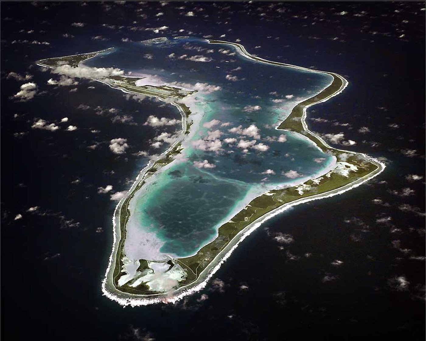

Diego Garcia is a horseshoe-shaped coral atoll in the central Indian Ocean, part of the British Indian Ocean Territory. Since the Cold War the United States has operated a major Navy support facility there: a long runway, harbor, and logistics base far from continental airports.
On the ARIA map Diego Garcia appears among the worldwide staging locations used when telemetry coverage was needed over broad ocean areas outside ground-station footprints. From the central Indian Ocean an instrumented aircraft could cover tracks that neither African nor Australian ground sites could see alone.
Public U.S. Navy photography shows the atoll’s lagoon, runway, and support infrastructure. Exact mission-by-mission ARIA itineraries from Diego Garcia belong in crew logs and official range records; this page places the island in geography and range context without inventing individual sortie details.
Milestones
- GeographyChagos Archipelago — Diego Garcia anchors the southern Chagos as a strategic Indian Ocean air and sea base.
- U.S. presenceNavy support facility — A long runway and harbor support transient aircraft and ships across the Indian Ocean.
- ARIA mapStaging location — Listed among ARIA deployment sites for Indian Ocean and adjacent telemetry coverage.
On flyARIA
Add to this page
Photographs, TDY notes, and corrections from ARIA crews and families belong here. Email [email protected] — no forms. Nothing is published as personal recollection without a source.
Summary original to flyARIA.com. Photograph: U.S. Navy. Works of the U.S. Government are generally in the public domain in the United States; credit does not imply endorsement. Map coordinates are approximate.