Deployment Sites
Pago Pago
American Samoa’s harbor and airfield—Apollo recovery staging and a waypoint on the TRIA 61-0331 memorial route.
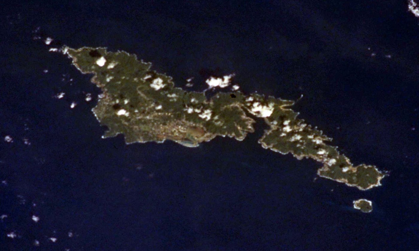

Pago Pago, on Tutuila in American Samoa, is the territorial capital and a deep-harbor port with an adjacent airfield. In the South Pacific it has long served as a U.S. way station between Hawaii and the southwestern Pacific.
Apollo recovery accounts describe ARIA aircraft releasing to Pago Pago after covering splashdown operations near Fiji, then continuing the long trip home through Hawaii. The same island chain appears in the TRIA 61-0331 record: the aircraft was en route from Pago Pago to Hickam when it disappeared on 13 June 1971.
Pago Pago thus sits at the intersection of triumphant recovery support and memorial history. Both belong on the same honest map.
Milestones
- Apollo recoverySouth Pacific staging — ARIA aircraft recover to Pago Pago after Pacific splashdown support.
- 1971-06-13TRIA 61-0331 — 61-0331 lost on a Pago Pago–Hickam leg after a Burning Light mission.
- Deployment listAmerican Samoa — Named site on the flyARIA worldwide map.
On flyARIA
- TRIA 61-0331 Memorial
- Hickam AFB
- Media: Apollo 13 Recovery Through ARIA
- Your Story: Apollo 13 Re-entry — David Dunn
Add to this page
Photographs, TDY notes, and corrections from ARIA crews and families belong here. Email [email protected] — no forms. Nothing is published as personal recollection without a source.
Summary original to flyARIA.com. Photograph: NASA. Works of the U.S. Government are generally in the public domain in the United States; credit does not imply endorsement. Map coordinates are approximate.